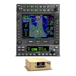
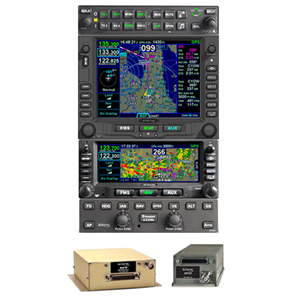
Avidyne's Fully Featured Premium IFD: The IFD550
Avidyne is known in aviation circles for our innovative products and it’s no secret that safety and ease of use are true hallmarks of all Avidyne products. With the new top-of-the line IFD550 FMS/GPS/NAV/COM, Avidyne combines our latest in Hybrid Touch, WAAS/SBAS/GPS/VHF navigation and communication along with stunning 3D synthetic vision technology to deliver the most powerful and capable touchscreen, panel-mounted navigator ever made.
Everything you could want and need in a true FMS
Just like the IFD440 and IFD540, the IFD550 delivers the features and functionality that makes the IFD Series popular with many pilots. Key features such as touchscreen with knobs and buttons, Page & Tab user interface, GeoFill, automatic waypoint nomination, and easy airway flight planning.
The IFD550 boasts is a 5.7” diagonal display with full VGA and 65,535 colors. Functional when flying in ultra bright sunlight, the LED backlighting makes the IFD550 display visible in any environmental condition.
The IFD550: Key Features
Attitude Reference System (ARS) and Dynamic SVS
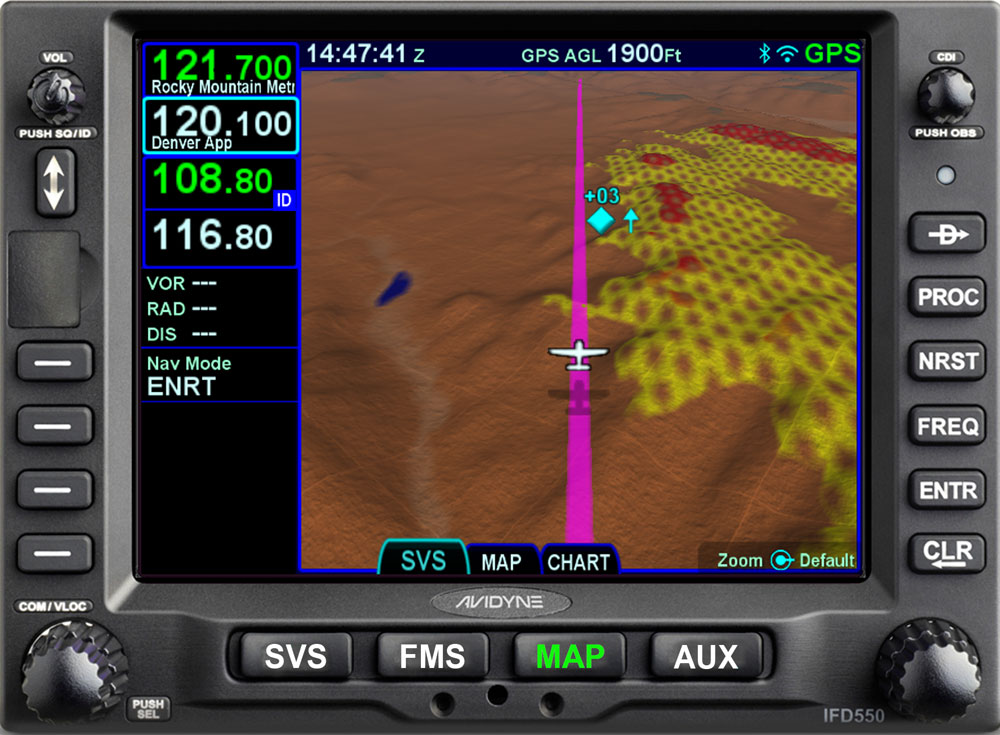
Requiring no additional boxes or wiring, the IFD550 displays a three-dimensional scene representing “egocentric” (out-the-window) and “exocentric” (in trail)views of your aircraft in relation to nearby terrain and traffic.
3D Terrain and FLTA
Terrain Awareness (SVS-TA) is provided via hashed coloration of terrain. Textual and aural alerts are provided for terrain hazards. Forward Looking Terrain Alerting (FLTA) provides an extra measure of safety by displaying a solid yellow or red impact point based on projected flight path in the event that a collision with terrain is projected. FLTA also provides visual CAS messaging & aural alerting.
Airport Flags
Airfields are depicted with a METAR-style flag when in field of view. With valid METAR data from your datalink, airfield flags will be color-coded to represent the ceiling and visibility, consistent with the moving map presentation.
3D Traffic and Obstacles
The IFD550 uses standard traffic symbology to indicate threat level by target size and relative altitude and bearing. Standard high, low and grouping symbology is used to clearly depict obstacles with color-coded threat bubbles based on hazard level.
At the heart of the IFD550’s synthetic vision system, is Avidyne’s fully-integrated, NextGen MEMS- Gyro ARS sensor that senses pitch and roll.
The convenience of direct replacement
The Avidyne IFD550 is a direct replacement for the GNS 530. As a direct replacement you can get a best in class FMS/GPS for less in installation costs and downtime.
- Full SBAS/LPV FMS/GPS/NAV/COM Capabilities
- Attitude Reference System (ARS) and Dynamic ego-centric SVS
- 3D exo-centric Synthetic Vision
- Hybrid touch user interface
- FMS Preview™ flight plan loading with real-time graphical depictions
- Seamless integration to Avidyne’s IFD 100 iPad app
- Powerful 10 Watt (Optional 16 Watt) VHF COM with 8.33kHz spacing
Display
- 5.7" Diagonal w/Touch Screen
- Full VGA - 640 x 480 pixels
- 65,535 colors
- Ultrabright sunlight readable w/LED Backlighting
Dimensions
- Width: 6.30” (16.0cm)
- Height: 4.60“ (11.7cm)
- Depth: 11.00“(27.5cm) behind panel including connector
Weight (including tray and connectors)
- 9.19 lb (4.17 kg)
Power Requirements
- 11 – 33VDC
- 4.4A/6.5A Xmit @ 14vdc
- 2.2A/4.0A Xmit @ 28vdc
VHF COM Power Output
- 10 Watts nominal
- Optional 16Watt (for 28vdc installations only)
Environmental
- DO 160E
- To 50,000 Ft
- -20C to +55C Operating
- +70C Short Term
Basic System includes:
- IFD550 GPS/NAV/COM/ARS (10W)*
- MK10 Keyboard [the MK10 keyboard is temporary unavailable, but will be shipped at a later date once manufacturing of the keyboard begins again]
- WiFi/Bluetooth Activation
- FLTA/500' Activation
- Synthetic Vision Enablement
- Install kit, tray, backplate, and product information kit
*GPS antenna, if needed, is not included in price.
Additional Enablements & Options:
- RS170 video input, capable of displaying video from aircraft-mounted IR/EVS or other compatible sources.
- 16W VHF Activation
- Radar Enablement Activation


